Kujawsko-Pomorska Digital Library contains 262 700 digital objects
Object
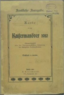
Title: Karte für das Kaisermanöver 1910
Description:
Skala 1:100 000 ; 1 mapa ; 73x100 cm, złoż. w okł. 22x15 cm ; Tyt. z okł ; Rzeźba terenu przedstawiona za pomocą metody kreskowej i punktów wysokościowych ; Na dolnym marginesie skala w postaci ułamka oraz podziałka liniowa w metrach i kilometrach ; Południk zerowy Ferro
Contributor:
Publisher:
Place of publication:
Format:
Original identifier:
Language:
Digital object identifier:
Rights:
Domena publiczna (Public domain)
Access Rights:
Resource Identifier:
Digitalisation:
Biblioteka Uniwersytecka w Toruniu
Original in:
Biblioteka Uniwersytecka w Toruniu
Sponsor:
Ministerstwo Nauki i Szkolnictwa Wyższego, grant nr 884/P-DUN/2013/2014
Object collections:
Last modified:
Nov 15, 2023
In our library since:
Jan 23, 2015
Number of object content hits:
200
Number of object content views in DjVu format
198
All available object's versions:
https://kpbc.umk.pl/publication/83591
Show description in RDF format:
Show description in OAI-PMH format:
| Edition name | Date |
|---|---|
| Karte für das Kaisermanöver 1910 | Nov 15, 2023 |
Objects Similar
hrsg. von Arthur Semrau
Gotho, Olao Joannis
Endersch, Fridrich Johann Amon, Anton


